Las Vegas sits on deep alluvial deposits that can amplify seismic waves significantly more than rock sites. The valley floor consists of hundreds of meters of unconsolidated sediments from the surrounding Spring Mountains — a classic basin setting where earthquake energy gets trapped and magnified. For any project in Las Vegas, from high-rises on the Strip to infrastructure in Henderson, understanding how the local soil column will modify ground motion is critical. We perform seismic amplification analysis using shear wave velocity profiles from MASW and borehole methods, combined with site-specific response modeling. Before running the full analysis, we often recommend a microtremor HVSR survey to identify the fundamental site frequency, which in Las Vegas typically falls between 0.5 and 2 Hz depending on basin depth.
The deep basin beneath Las Vegas can amplify long-period ground motions by a factor of 3 to 5 compared to rock sites — a critical design consideration for tall structures.
Service characteristics in Las Vegas
Demonstration video
Critical ground factors in Las Vegas
The primary risk for Las Vegas projects is underestimating long-period amplification on tall buildings and base-isolated structures. The valley's deep alluvium can produce resonance periods of 1 to 2 seconds, which aligns with the natural period of buildings 10 to 20 stories tall — exactly the range common on the Strip. In our experience, structures designed with generic code spectra (without site-specific analysis) have shown measured accelerations 40% higher than predicted during moderate events. Soft soils in the central basin also increase the likelihood of liquefaction-induced settlement during strong shaking. We integrate our amplification results with a liquefaction analysis to evaluate the combined risk of ground failure and amplified shaking. Another risk is the spatial variability of basin depth — the bedrock surface drops from near surface at the mountain fronts to over 600 meters deep near downtown, so extrapolating from one borehole can be misleading.
Our services
We offer two complementary levels of seismic amplification analysis tailored to project scale and budget.
Site-Specific Ground Response Analysis
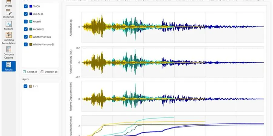
Full equivalent-linear and nonlinear analysis using measured VS30 profiles and up to 5 input ground motions. Output includes acceleration response spectra, amplification factors, and site coefficients for ASCE 7 compliance. Recommended for risk category III and IV structures in Las Vegas.
Seismic Microzonation for Large Sites
For master-planned communities or large infrastructure corridors, we produce a microzonation map showing amplification zones across the property. Combines MASW, HVSR, and refraction tomography to define basin geometry and site period contours. Delivered as GIS-compatible layers for design team integration.
Frequently asked questions
How does the deep alluvial basin in Las Vegas affect seismic amplification?
The basin, reaching depths of 600+ meters near downtown, traps seismic waves and causes long-period amplification. This can increase spectral accelerations at periods of 1 to 2 seconds by a factor of 3 to 5 compared to rock sites, which directly impacts mid- to high-rise buildings.
What is the typical VS30 range in Las Vegas Valley?
VS30 values in the valley floor typically range from 200 to 500 m/s, corresponding to NEHRP site classes D (stiff soil) and C (very dense soil). Near the mountain fronts where bedrock is shallow, VS30 can exceed 760 m/s (site class B).
Can a site-specific analysis reduce design costs compared to using default code values?
Yes. In many Las Vegas sites, a site-specific analysis yields lower spectral accelerations than the default site coefficients in ASCE 7, especially for short-period structures. This can reduce reinforcement ratios and foundation sizes. The savings typically offset the study cost for projects over $5 million.
How many boreholes or MASW lines are needed for a reliable amplification study?
For a typical building footprint, we recommend at least two MASW lines (total length 100-150 m) and one borehole with downhole seismic to 30 m depth. For larger sites, the number scales with the area: one MASW line per hectare is a good rule of thumb for Las Vegas alluvium.